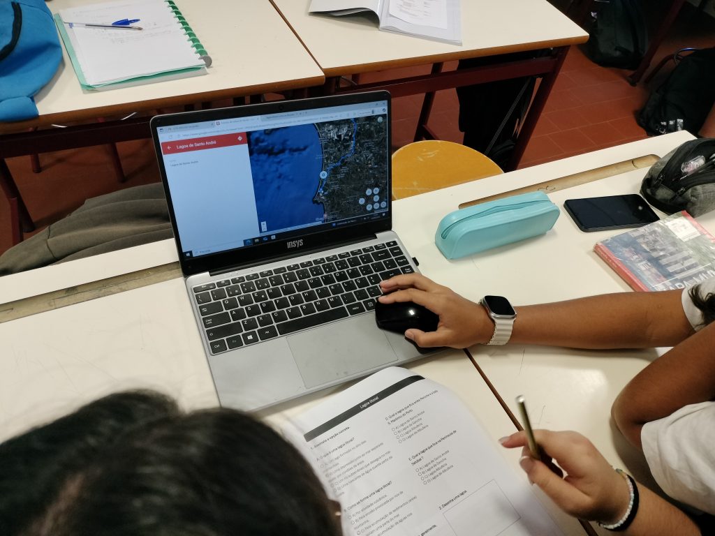
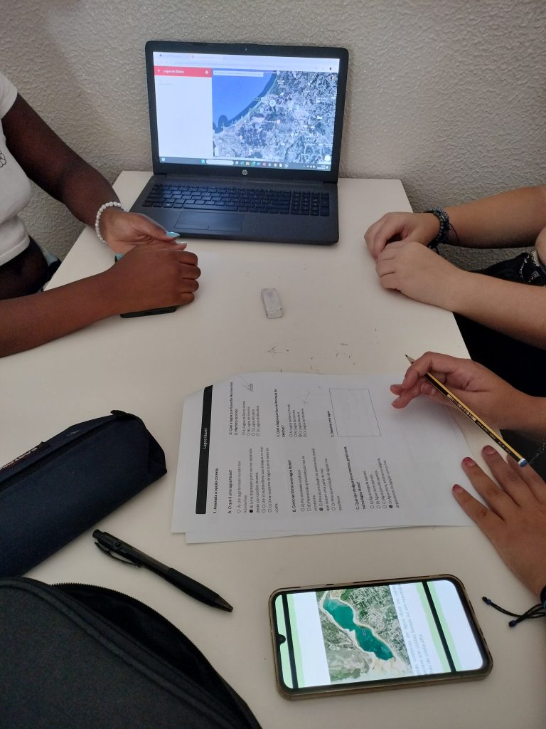
Getting to know a territory is one of the best ways to develop geographically competent citizens, capable of observing and understanding space in an active and constructive way.
With this purpose, students explored the Portuguese coastline using the My Maps application. Through this activity, they developed spatial awareness, digital skills, and a deeper understanding of the relationship between natural features and human activities along the coast.
By analyzing the territory in an interactive way, students strengthened their sense of citizenship, critical thinking, and responsibility towards the sustainable management of coastal areas.